The first two characters, I and P, stand for Ingress Protection or - in other words - how good it is at stopping stuff getting inside it. The third digit is the number that indicates how good it is at protecting against small solids (dust/sand etc), with a maximum rating of 6. This ranges from no protection at all, through small screws, a little dust or all dust.
The last digit is the liquid or water resistance rating, with a max rating of 8.
In other words, if you see IP68 somewhere, you know it offers the highest IP rating for both dust and water resistance. At least, when it comes to the IP-rating certification.
| Sensors | BMA050 3-axis Accelerometer (Bosch); range: 0...32; resolution: 0.004 (0.012%); power: 0.13mA; |
| PROXIMITY (MTK); range: 0...1; resolution: 1 (100%); power: 0.13mA; | |
| APDS9930 Light Sensor (Avago); range: 0...10240; resolution: 1 (0.01%); power: 0.13mA; | |
| Corrected Gyroscope Sensor (Google Inc.); range: 0...34.91; resolution: 0.011 (0.031%); power: 6.48mA; | |
| mag3110 3-axis Magnetic Field sensor (Freescale); range: 0...600; resolution: 0.002 (0%); power: 0.25mA; | |
| BMP180 Pressure sensor (Bosch); range: 0...1100; resolution: 0.01 (0.001%); power: 0.67mA; | |
| Rotation Vector Sensor (Google Inc.); range: 0...1; resolution: 0 (0%); power: 6.48mA; | |
| Gravity Sensor (Google Inc.); range: 0...19.613; resolution: 0.004 (0.02%); power: 6.48mA; | |
| Linear Acceleration Sensor (Google Inc.); range: 0...19.613; resolution: 0.004 (0.02%); power: 6.48mA; |
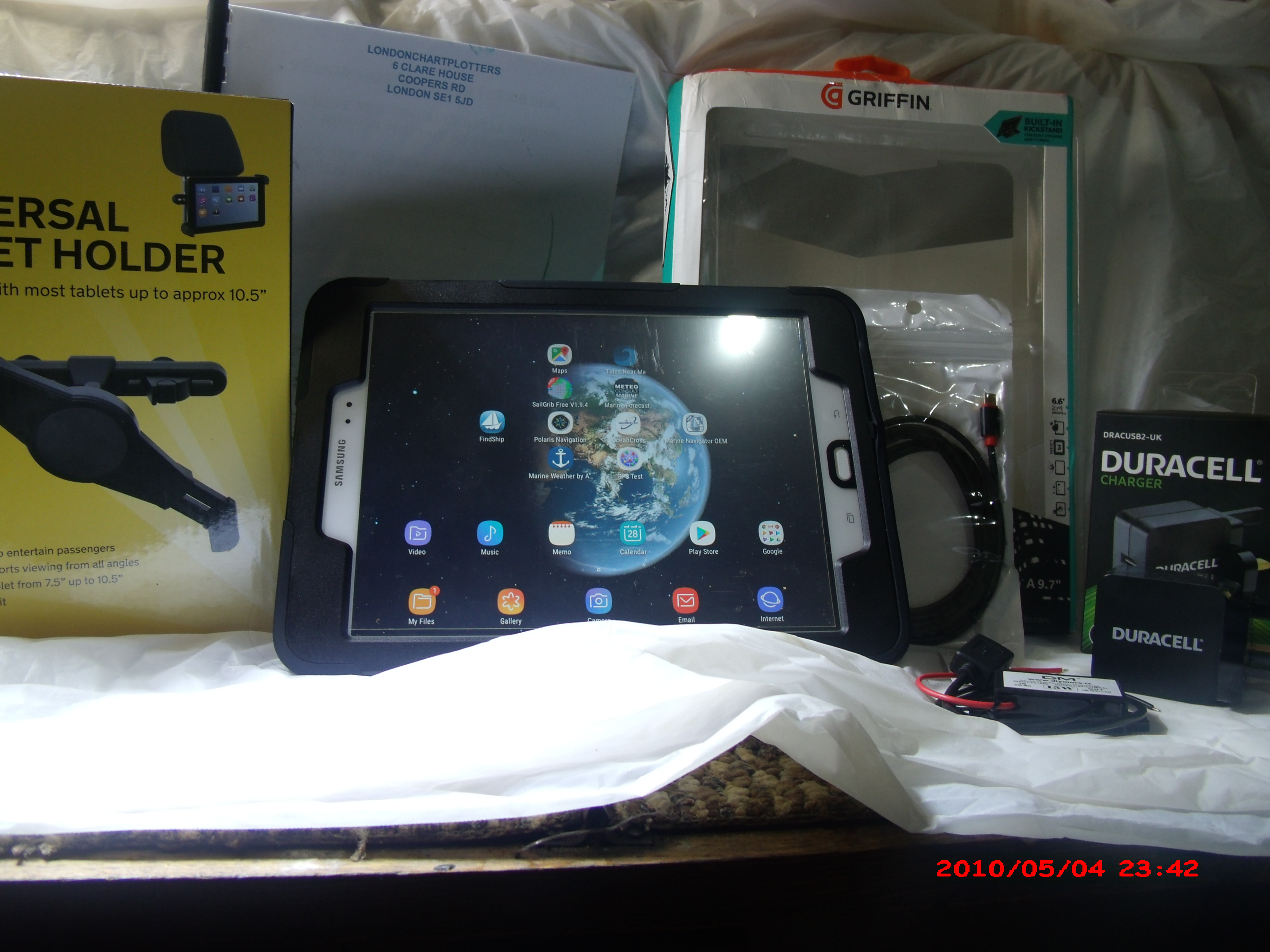
| anufacturer | Toughshield |
| Model | T700 |
| Android version | 4.2.2; eng.software.1405403646; SDK17 |
| CPU | 4 cores; ARMv7 Processor rev 2 (v7l); Max: 1209.0 MHz; Min: 497.2 MHz |
| Display | 1280 x 800; DPI: 320; Evaluated Size: 4.7" |
| Touch screen | Multitouch 5 points |
| GPU | PowerVR SGX 544MP; Imagination Technologies; OpenGL ES-CM 1.1; OpenGL ES 2.0 build 1.9@2204701 |
| RAM | 1024 MB (990 MB available) |
| Flash | 16 GB (14.538 GB actual) (see memory map tab) |
| Communications | |
|---|---|
| Phone | GSM, Dual SIM |
| WiFi | wlan_mt6628; IEEE 802.11 b/g/n; MediaTek MT6628; AP Mode |
| USB Host | Yes |
| Bluetooth | Bluetooth 3.0+HS, 4.0 |
| GPS | Yes |
| Advanced Features | |
|---|---|
| Front camera | Photo: 8.8 MP; Max: 3600x2448; Video: 2.1 MP; Max: 1920x1080; Focus: auto macro infinity continuous-picture continuous-video manual fullscan; Flash modes: off on auto red-eye torch |
| Back camera | Photo: 4.9 MP; Max size: 2560x1920; Video: 2.1 MP; Max: 1920x1080; Focus: infinity; Flash modes: off |
| Sensors | BMA050 3-axis Accelerometer (Bosch); range: 0...32; resolution: 0.004 (0.012%); power: 0.13mA; |
| PROXIMITY (MTK); range: 0...1; resolution: 1 (100%); power: 0.13mA; | |
| APDS9930 Light Sensor (Avago); range: 0...10240; resolution: 1 (0.01%); power: 0.13mA; | |
| Corrected Gyroscope Sensor (Google Inc.); range: 0...34.91; resolution: 0.011 (0.031%); power: 6.48mA; | |
| mag3110 3-axis Magnetic Field sensor (Freescale); range: 0...600; resolution: 0.002 (0%); power: 0.25mA; | |
| BMP180 Pressure sensor (Bosch); range: 0...1100; resolution: 0.01 (0.001%); power: 0.67mA; | |
| Rotation Vector Sensor (Google Inc.); range: 0...1; resolution: 0 (0%); power: 6.48mA; | |
| Gravity Sensor (Google Inc.); range: 0...19.613; resolution: 0.004 (0.02%); power: 6.48mA; | |
| Linear Acceleration Sensor (Google Inc.); range: 0...19.613; resolution: 0.004 (0.02%); power: 6.48mA; | |
| Vibrator | Yes |
| Supported languages | 54; Afrikaans; Amharic; Arabic; Belarusian; Bulgarian; Bengali; Catalan; Czech; Danish; German; Greek; English; Spanish; Estonian; Persian; Finnish; Filipino; French; Hebrew; Hindi; Croatian; Hungarian; Indonesian; Icelandic; Italian; Japanese; Khmer; Korean; Lithuanian; Latvian; Marathi; Malay; Burmese; Norwegian; Dutch; Polish; Portuguese; Romansh; Romanian; Russian; Slovak; Slovenian; Serbian; Swedish; Swahili; Tamil; Thai; Filipino; Turkish; Ukrainian; Urdu; Vietnamese; Chinese; Zulu |
| Battery | Technology: Li-ion; Voltage: 4001 |
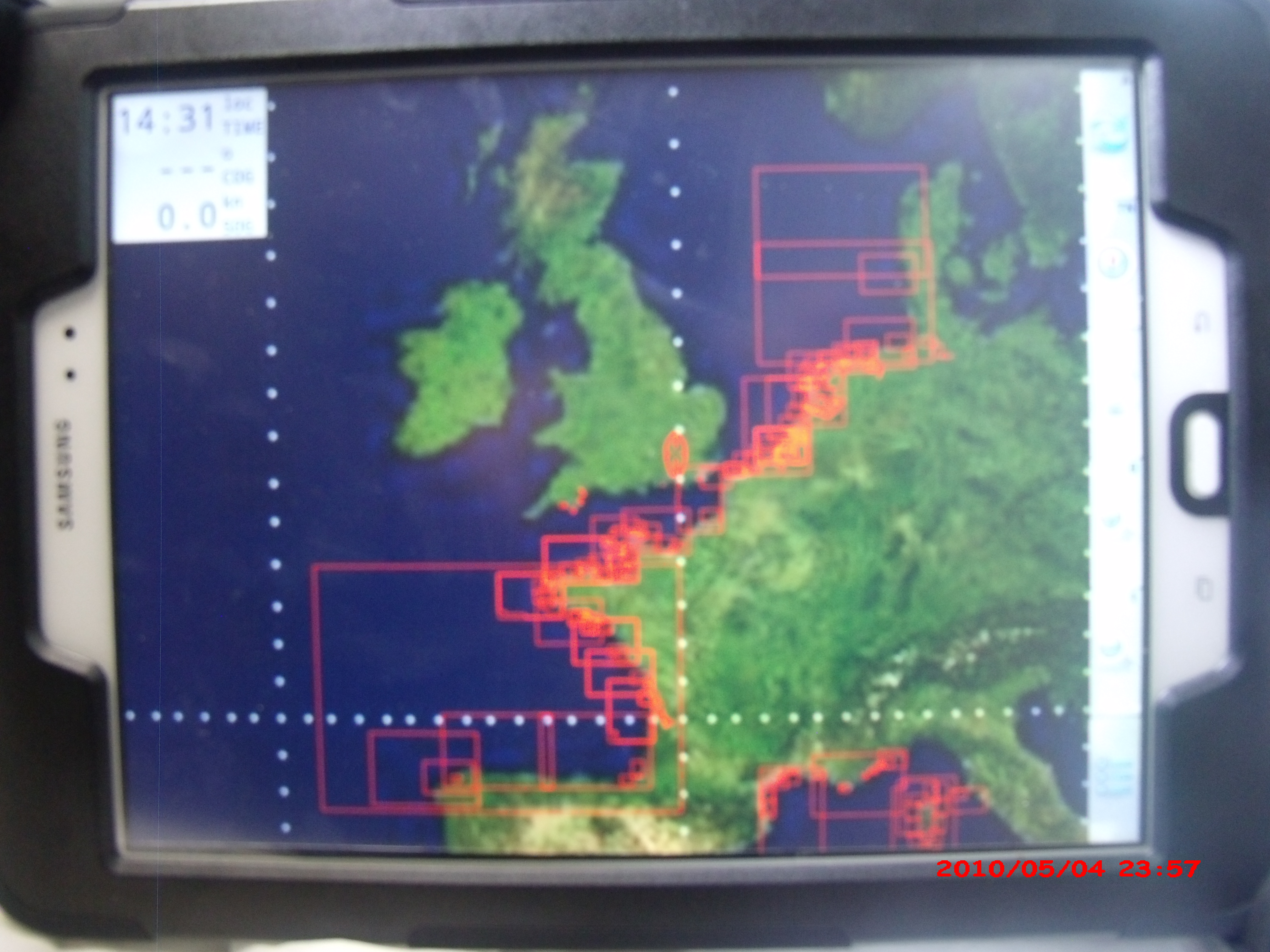
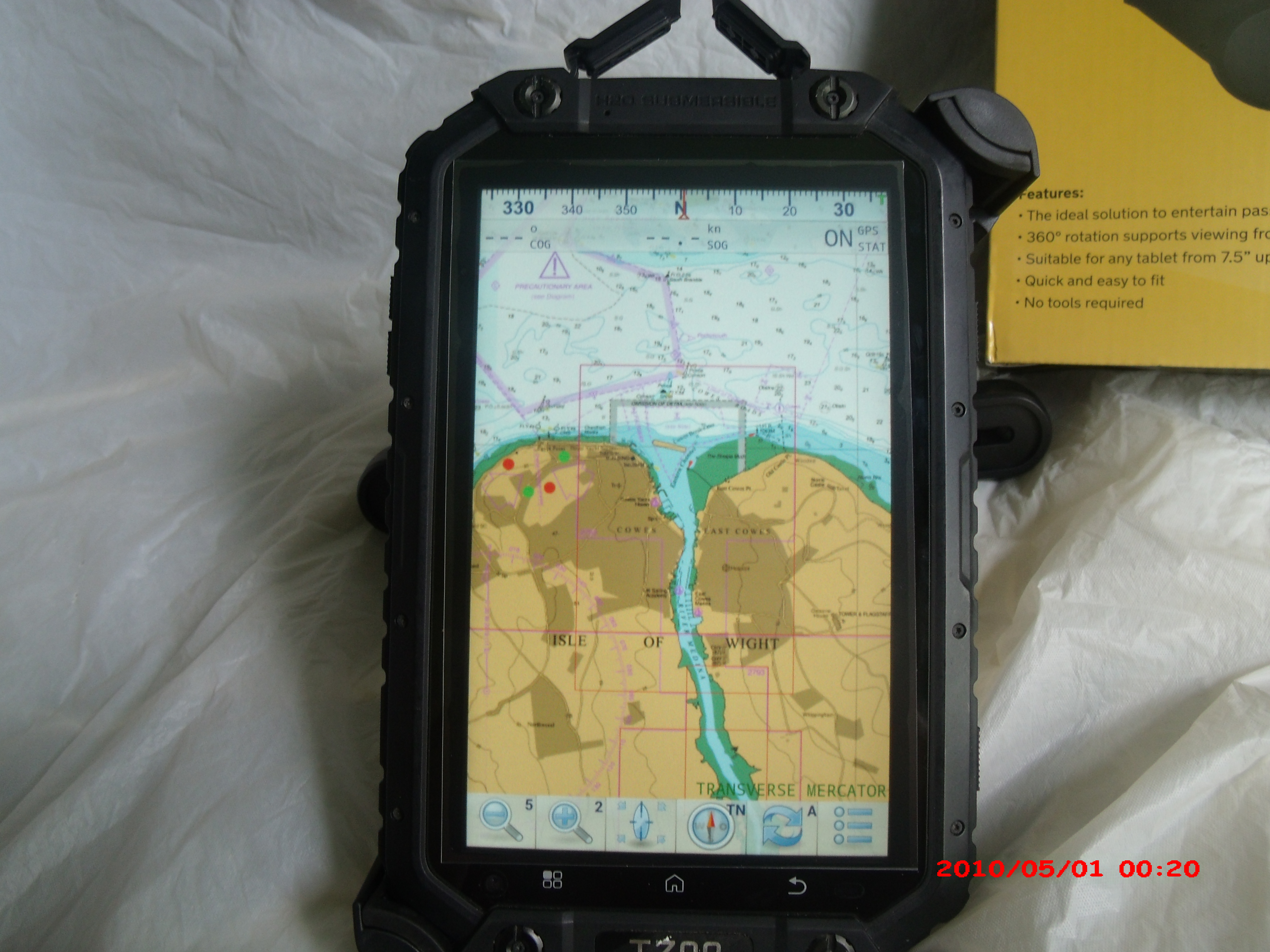
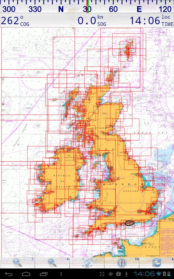
| FM radio | Supported by chipsetFULL SET OF 883 2021 LICENCED AND LEGAL UK CHARTS..GREAT DETAILED COVERAGE,
|