END OF SEASON REDUCTION NOW £155 FROM £175

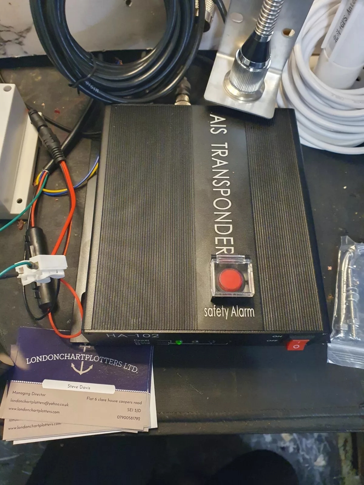
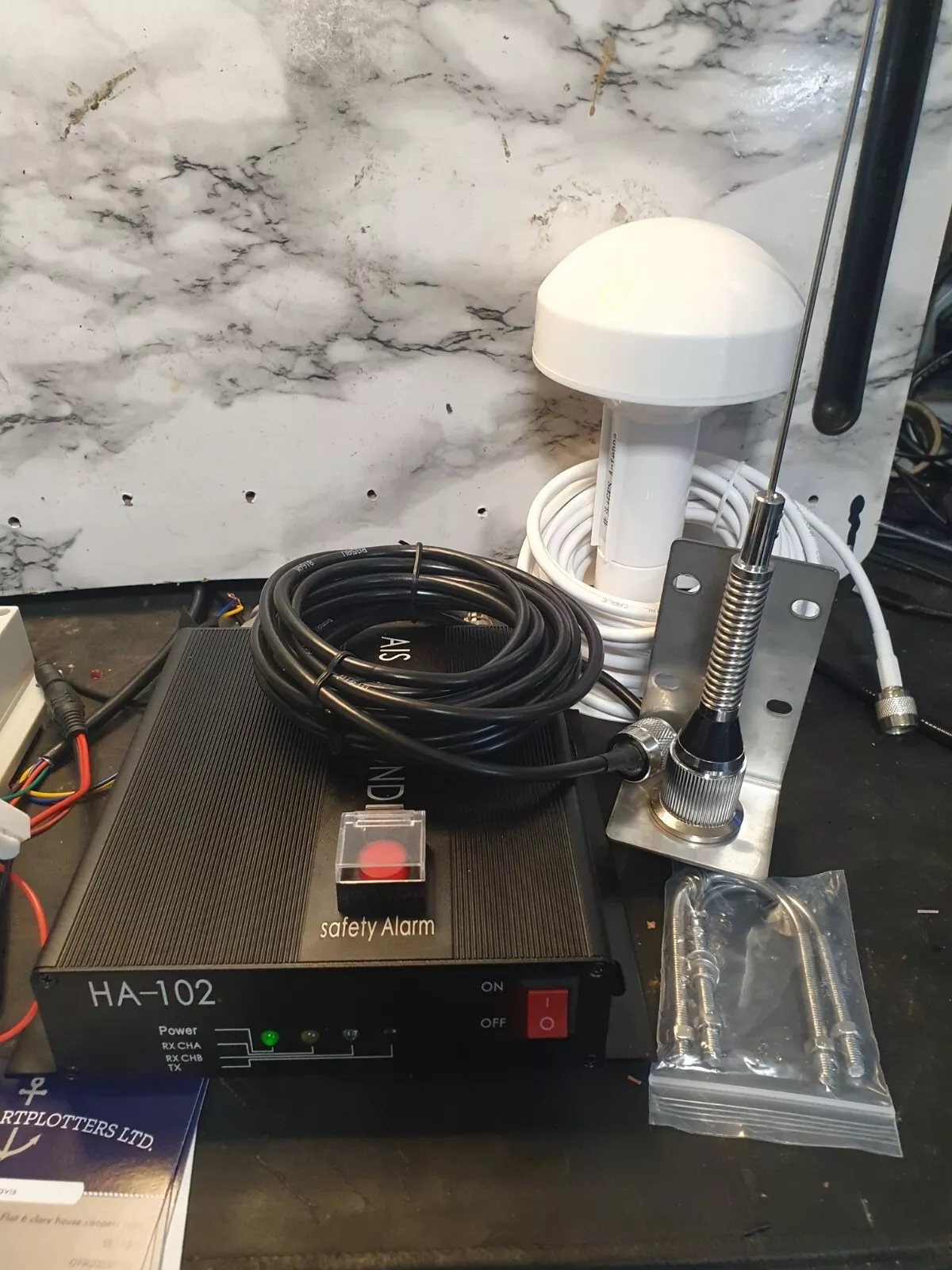
TRANSPONDER SYSTEM PHOTOS
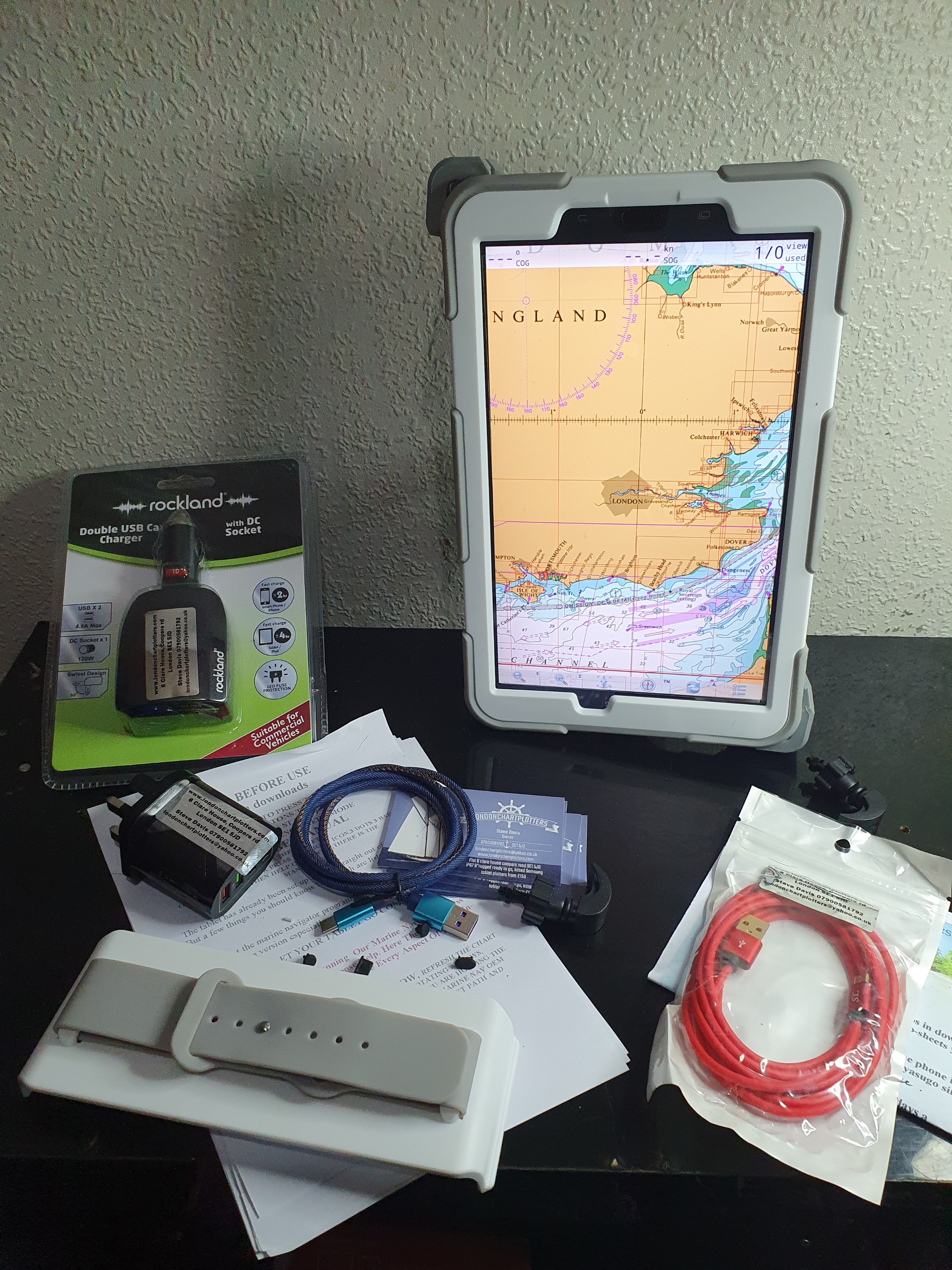
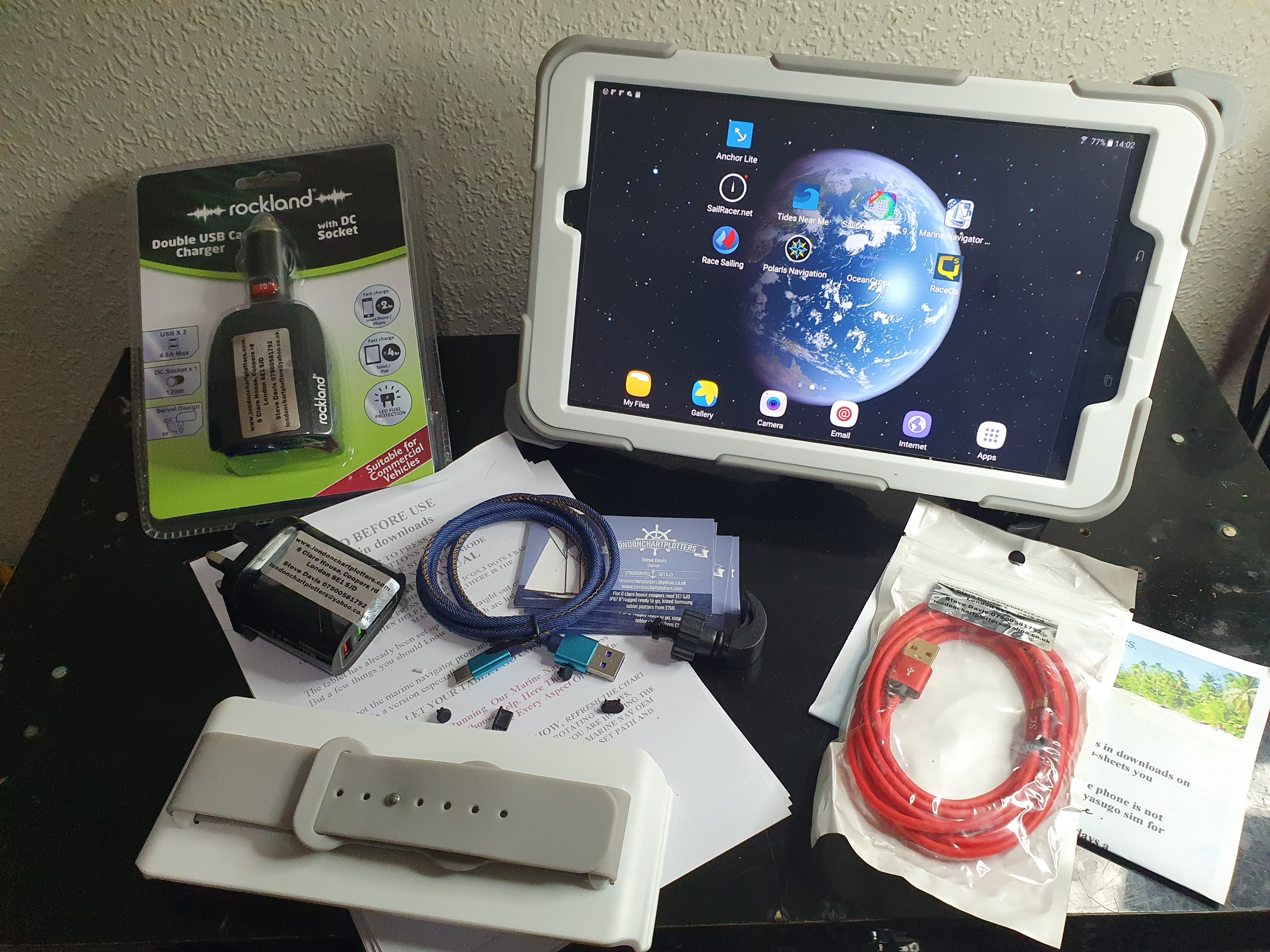
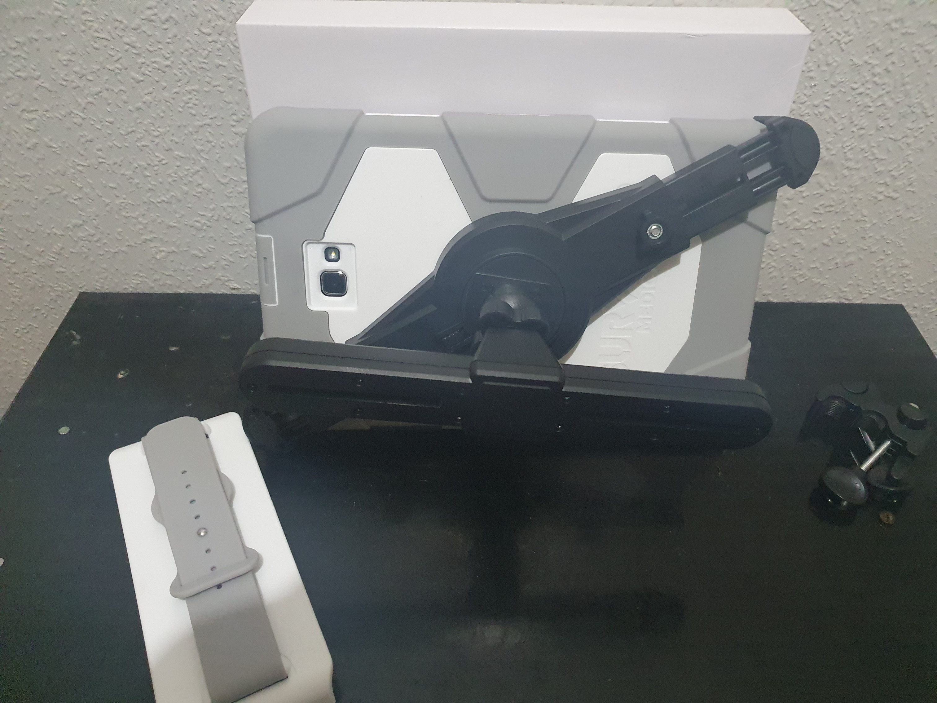
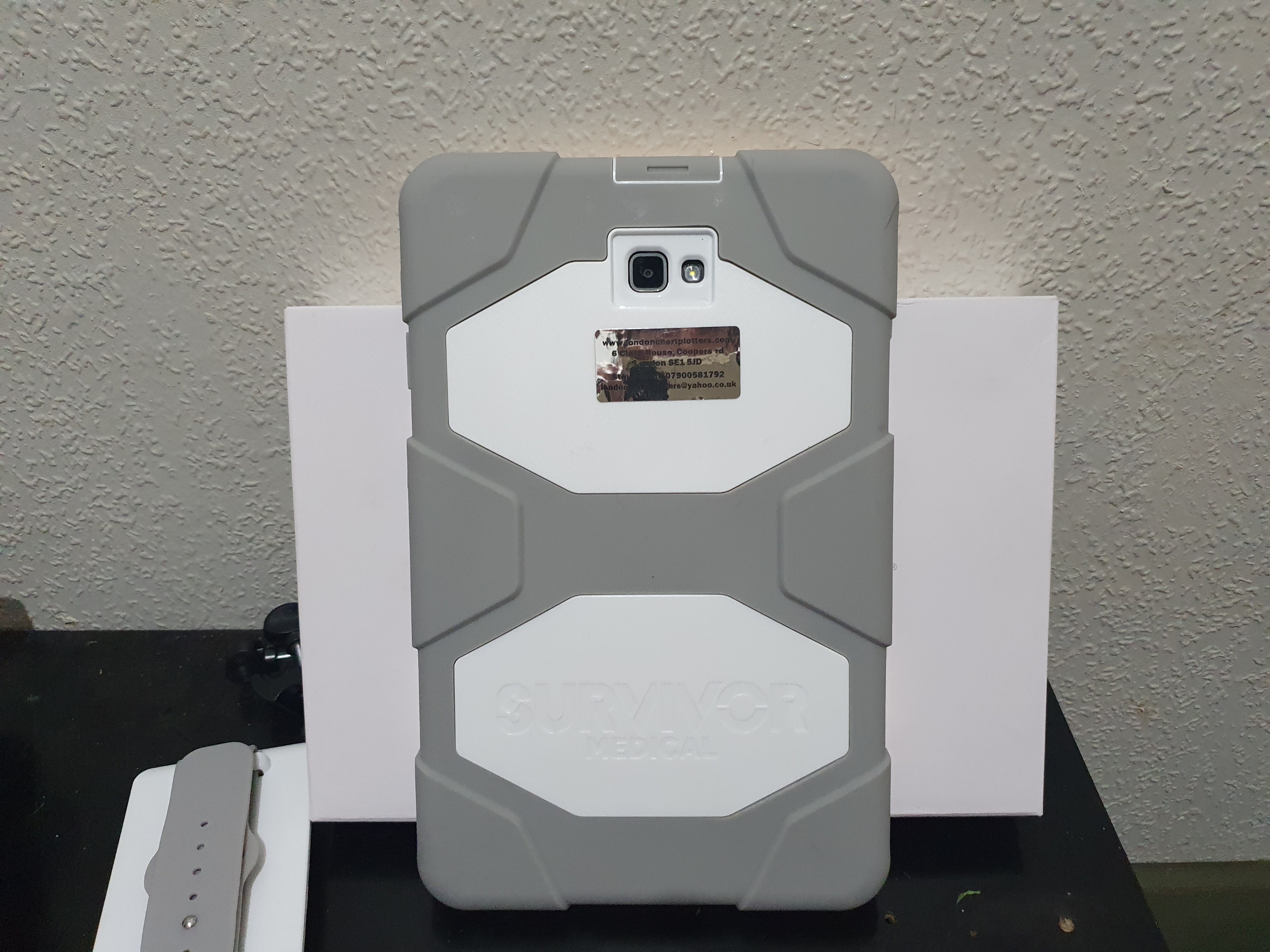
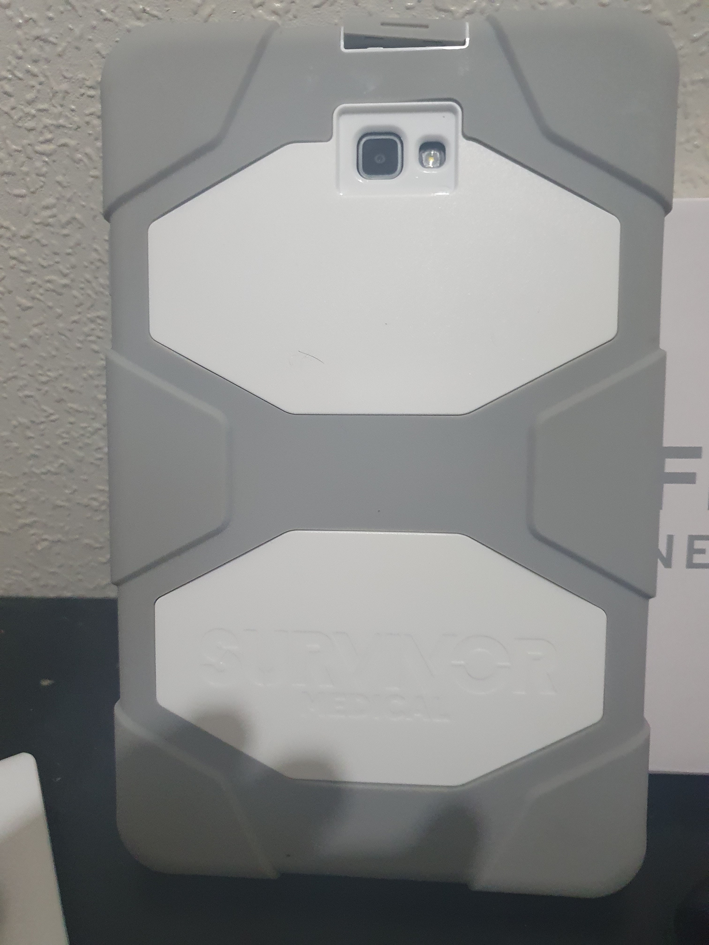
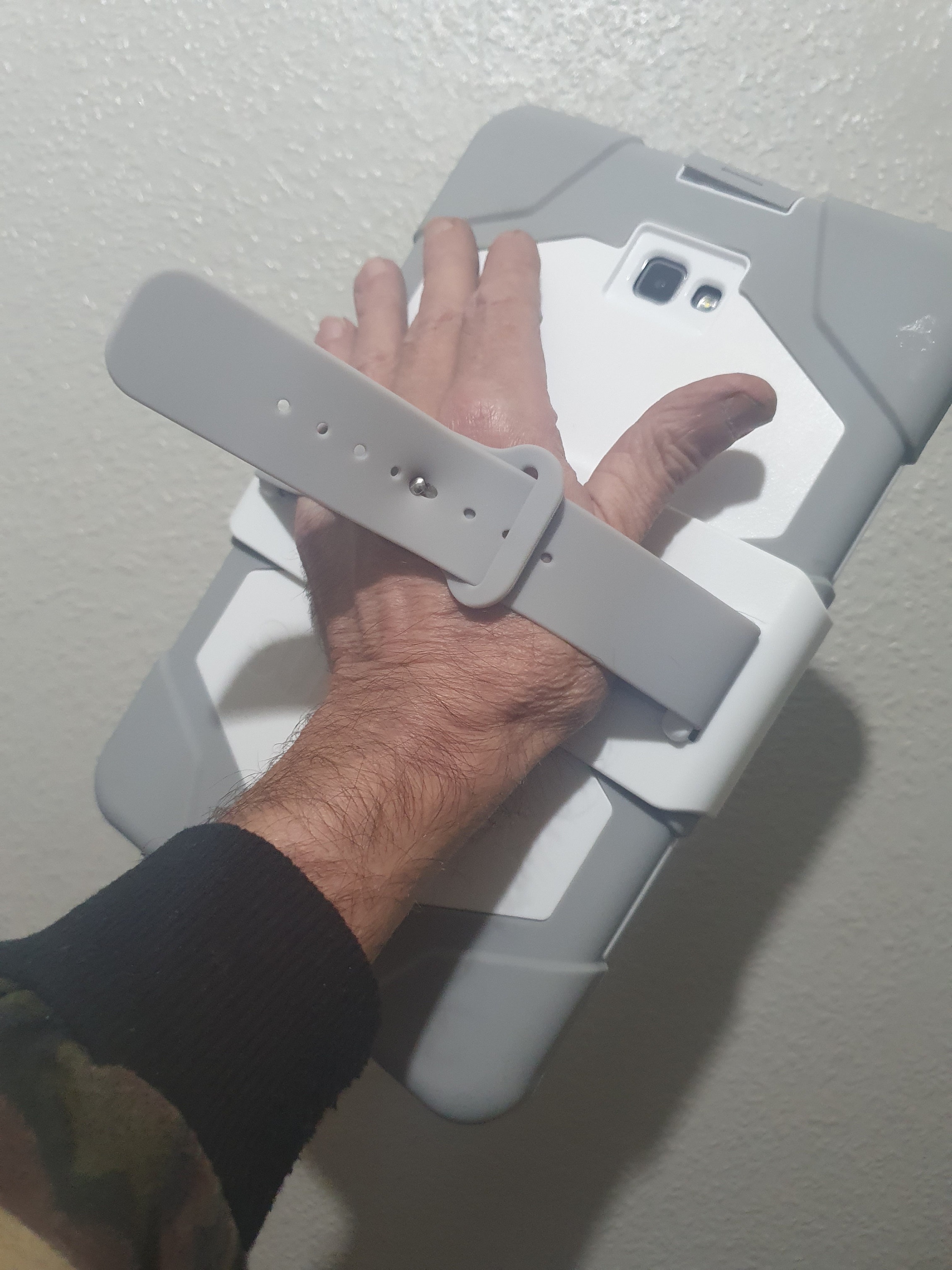
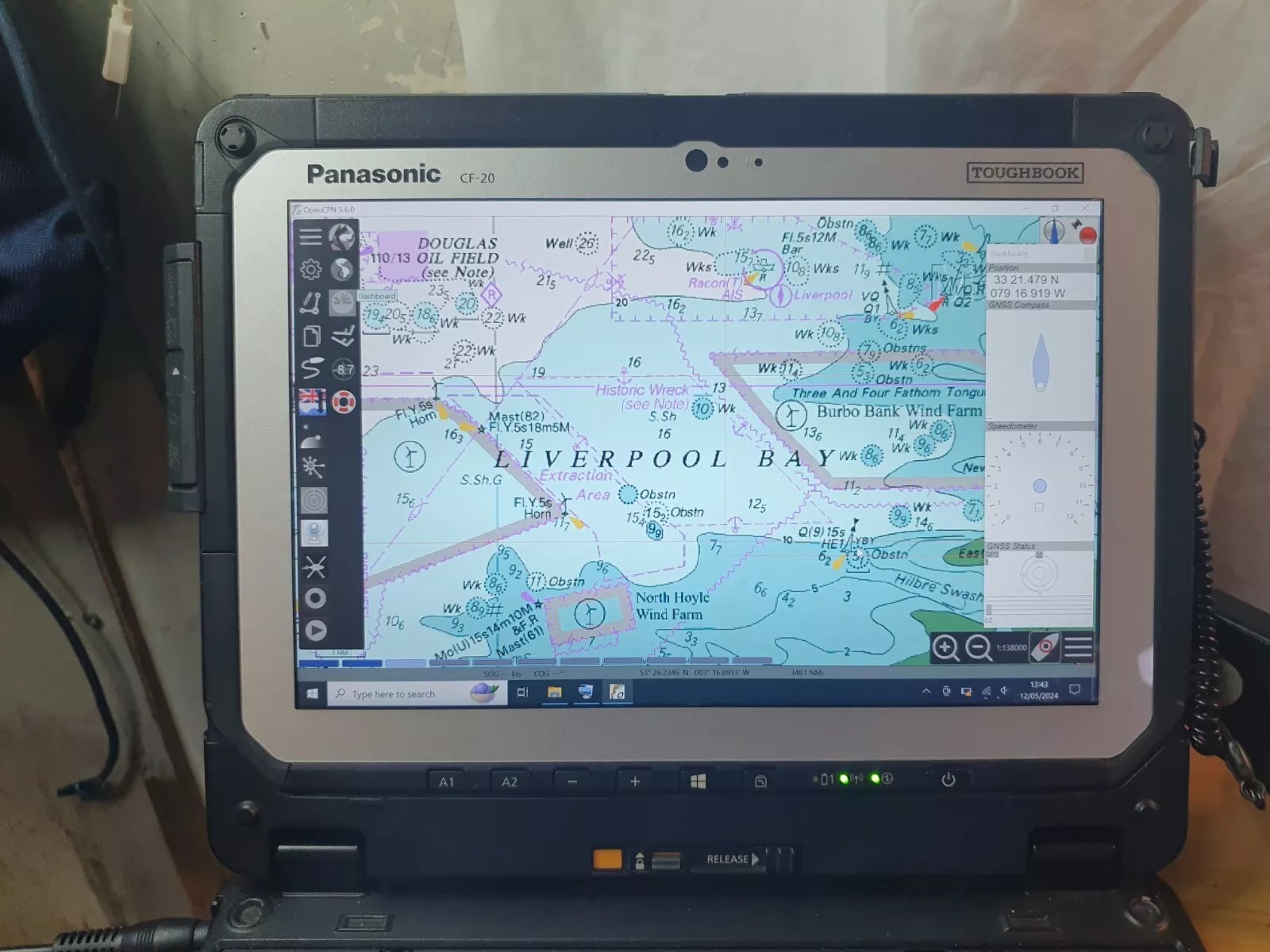
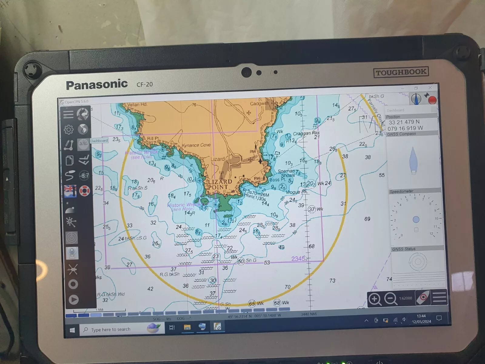
10.1 TAB A T580 TABLETCHARTPLO
WHITE/GREYFULL GRIFFIN SURVIVOR
MEDICAL GRADE CASE/
SEE LAST PHOTOS.
- DELUX VERSION OF OUR t550 £165.00 PLOTTER
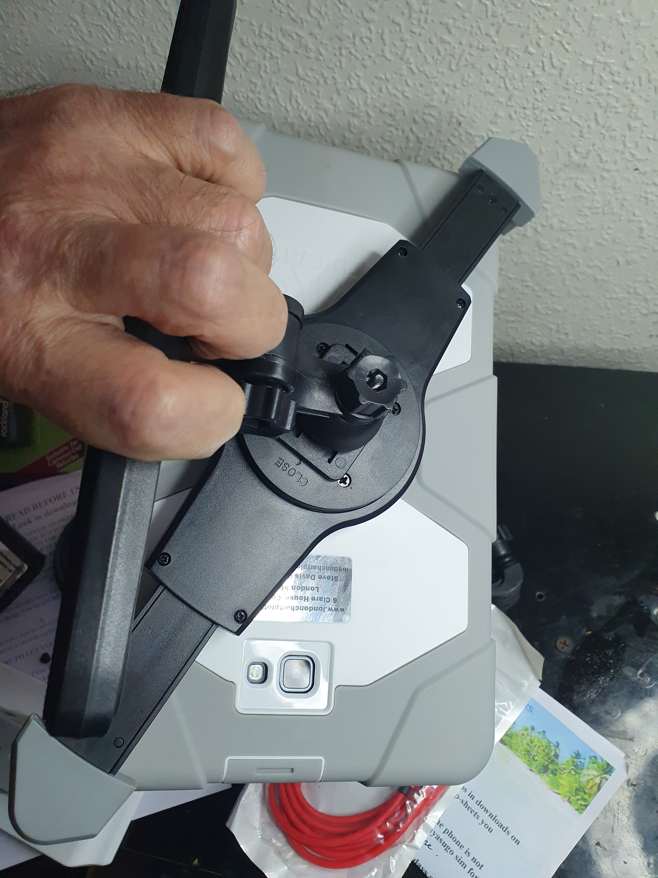
SECURE HOLDER CORNER TO CORNER WILL BE INCLUDED.AS IN OUR OTHER LISTINGS.
IT CAN BE MOUNTED TO A FLAT SURFACE.
CONTACT US IF YOU NEED A DIFFERENT SORT OF MOUNT.
SUCTION CUP MOUNTS ARE USELESS.
CARE MUST BE TAKEN WITH A FOUR FINGER HOLDER
AS THEY CAN CAUSE FACTORY RESETS.
STAND HAS THE OPTION OF FIXING THE HOLDER BAR BY GLUE.SCREW/BOLT OR THE CLAMPS...MUCH LESS WOBBLE...DOESNT BREAK OFF AS THE SUCTION ONES CAN DO.
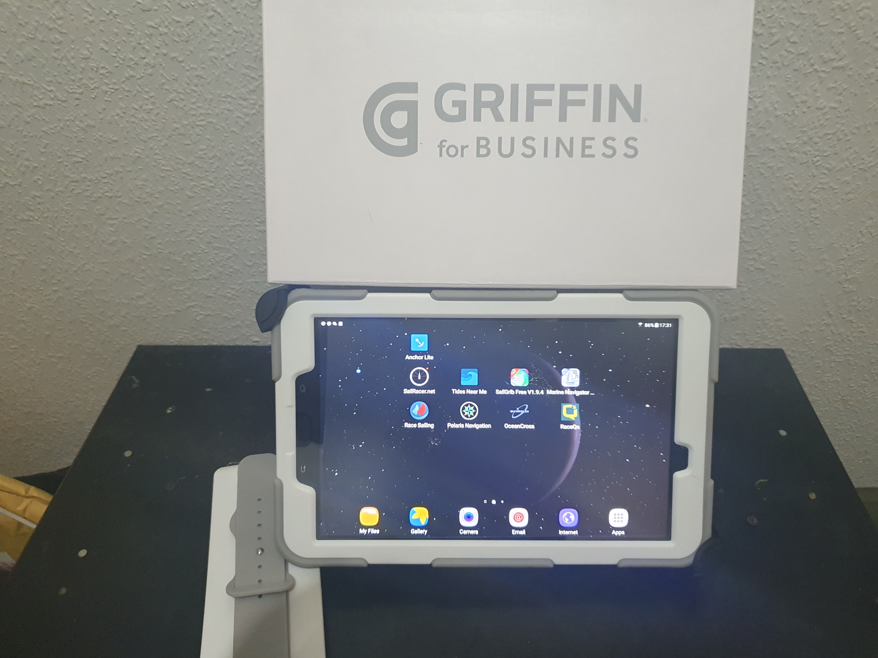
NON GOOGLE PLAY O.E.M. LATEST MARINE NAVIGATOR LICENCED APP INSTALLED WITH THE CHARTS.SOFWARE MANUAL IS INCORPORATED IN HELP WHEN YOU OPEN MARINE NAVIGATOR
A FEW FREE MARINE APPS INSTALLED F.O.C,,EG WEATHER/GRIB/ETC. SOME OF THESE REQUIRE A INTERNET CONNECTION.MARINE NAVIGATOR,THE NAV APP DOES NOT..
THIS IS A FULL TURNKEY SET...YOU COULD OPEN THE PACK ON THE BOAT AND GO SAILING.
ALL COVERED UNDER OUR "IN HOUSE" (NO SENDING OFF) 6 MONTH GUARANTEE.EXTENDABLE TO 12 MONTHS FOR 20.00
EVEN IF YOU BREAK IT...WELE FIX IT HERE.UNDER GUARANTEE OR NOT..AT A PRICE THAT MAKES SENCE...EG SCREEN REPLACE 25.00 yes £25.00 charging plug repair £10.00 ..customers only.
WE DO NOT CHARGE LABOUR FOR REPAIRS IF IT IS OUR DEVICE.ONLY COSTS.
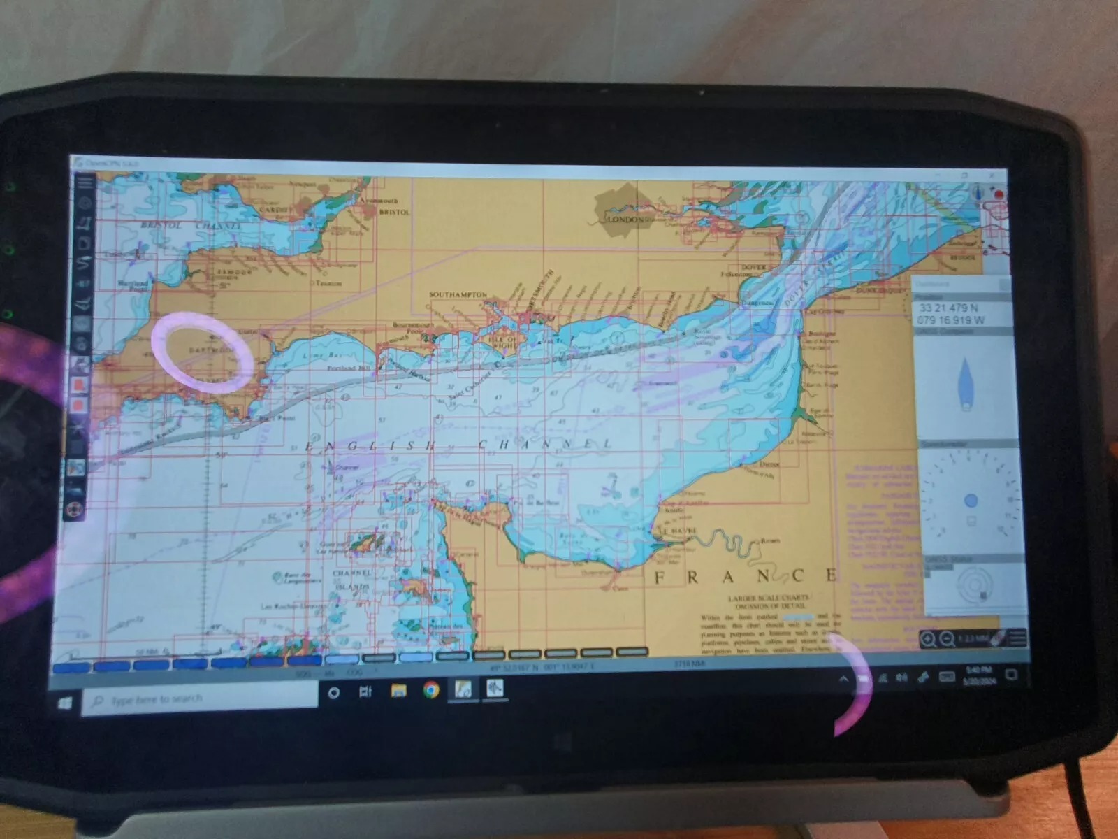
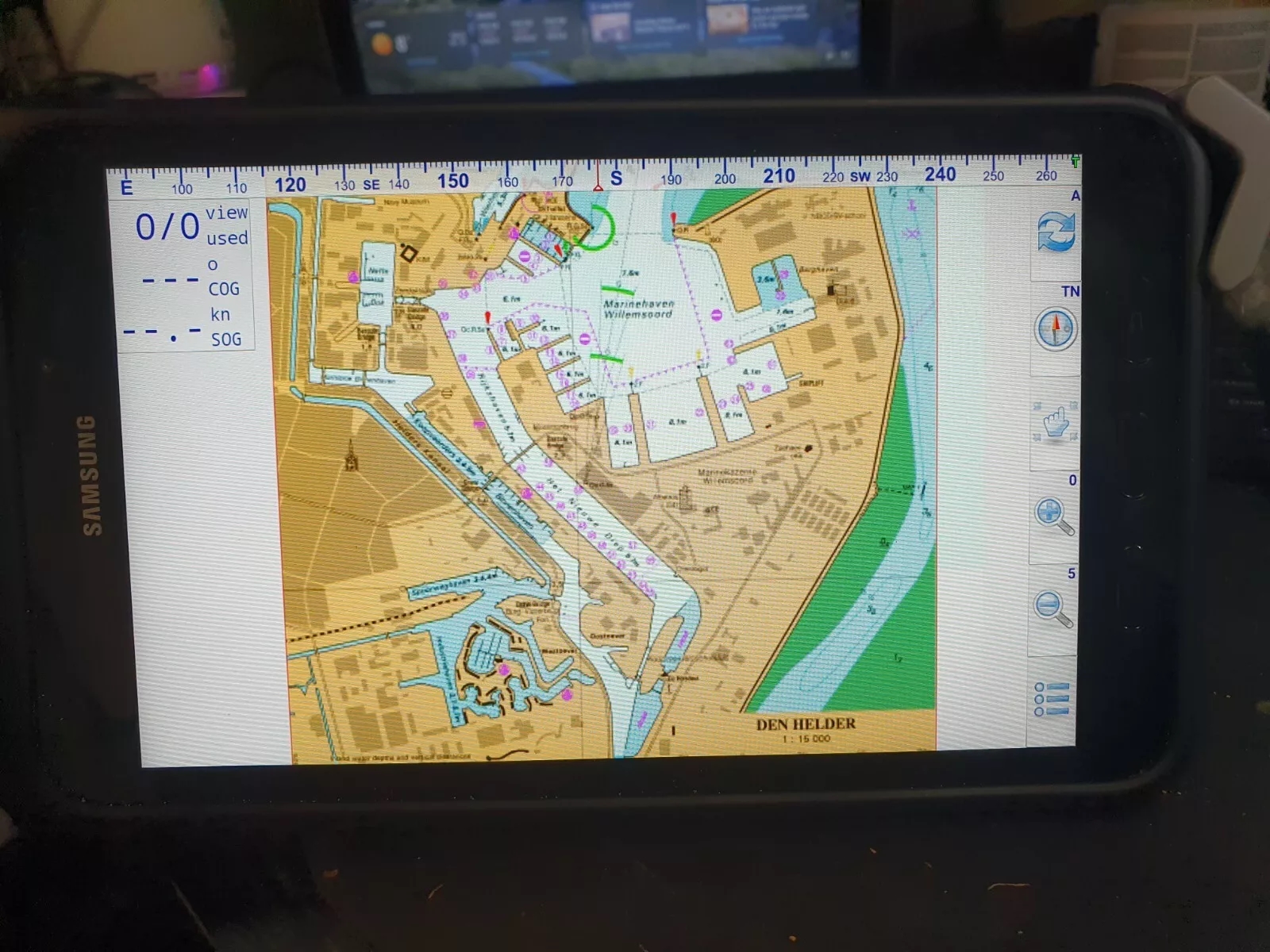
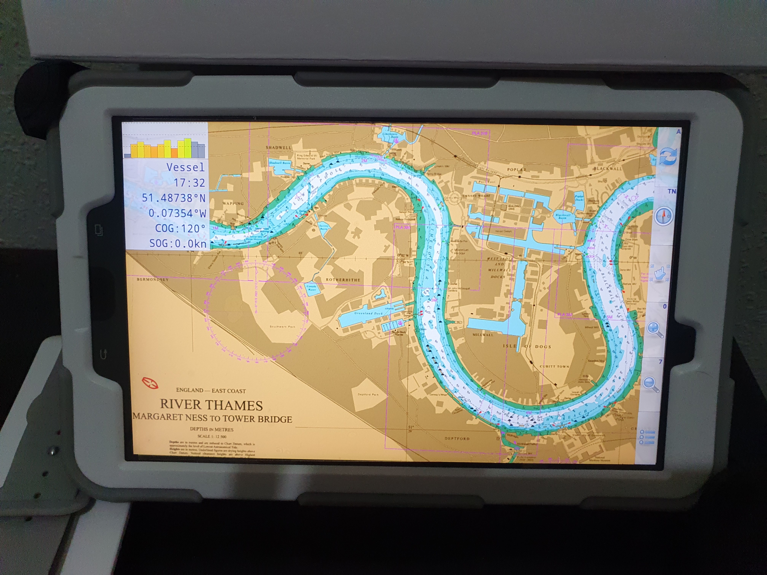
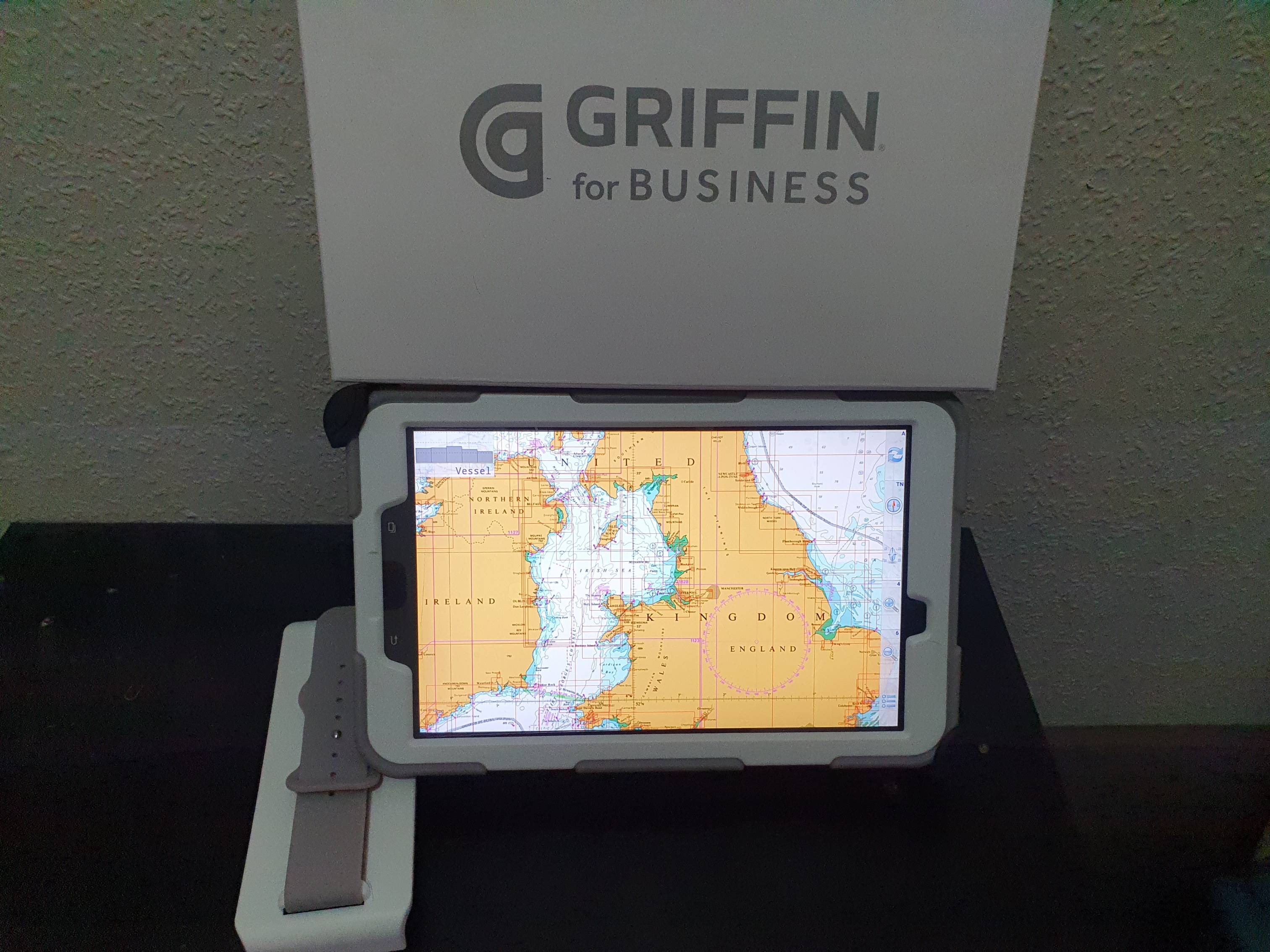
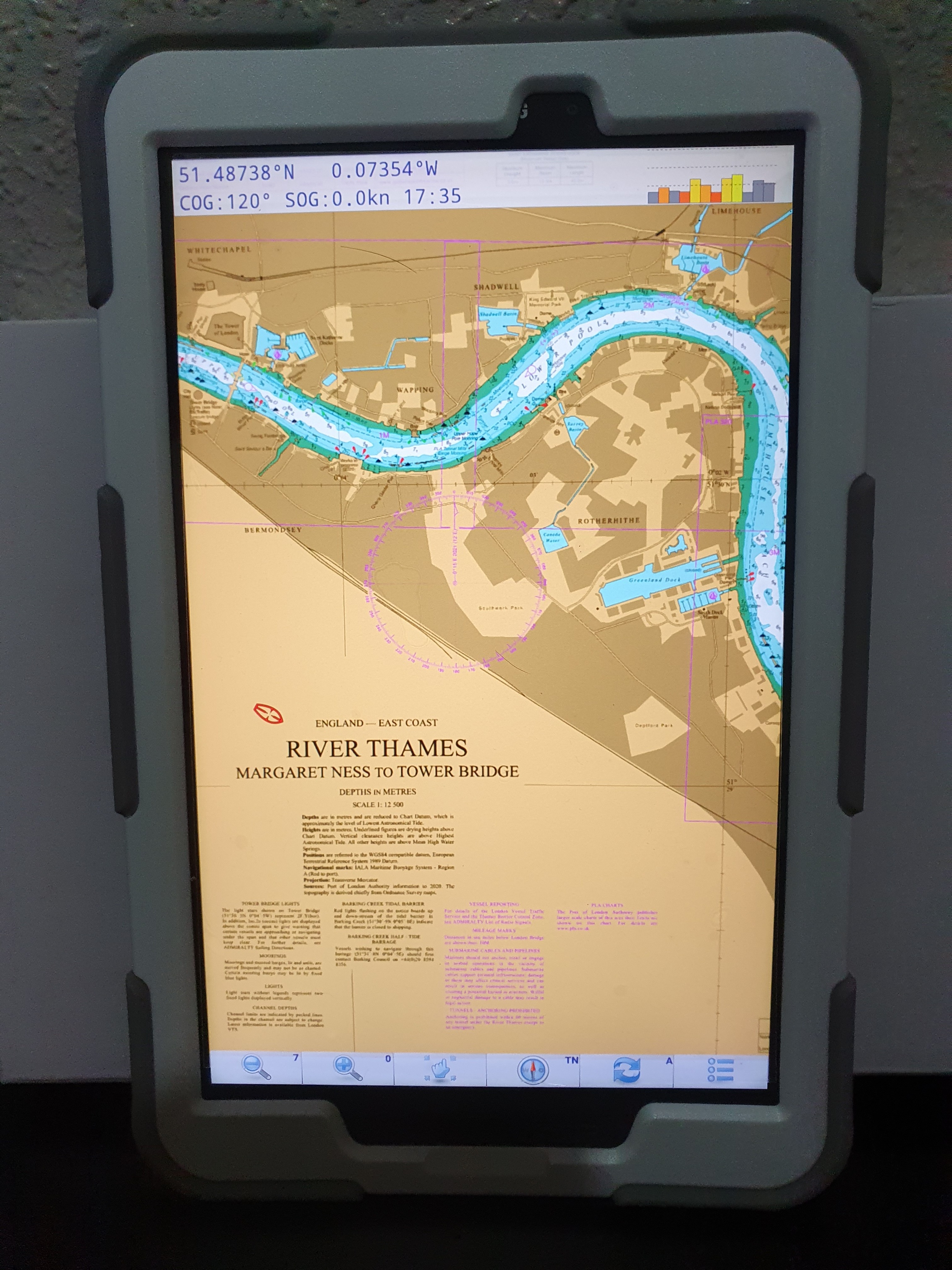
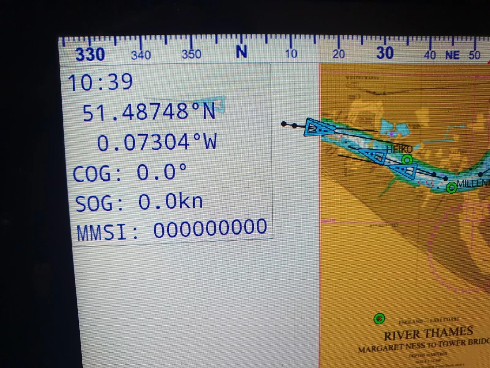
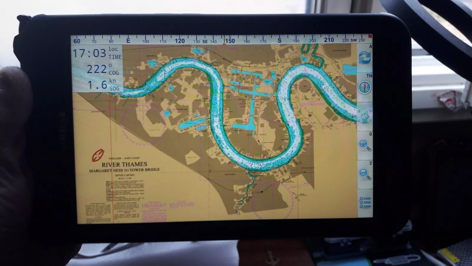
* automatic chart switching depending on current position and zoom level
* scrolling through all charts available for the current location by "press and hold" zoom buttons
* display of number of available charts for current location in the zoom buttons
* display of outlines of installed charts in active chart
* chart rotation (True North, True Course, Compass Heading, original chart orientation)
* tracks, way points, routes
* follow route automatically
* intuitive route editor
* gpx import and export of waypoints and routes
* gpx export of tracks
* recording of tracks in active and standby mode
* length of recorded tracks only limited by the capacity of the external storage (SDCARD)
* compass (magnetic north, true north)
*
* different dashboard layouts (basic data, detailed route data, detailed GPS data including graphical status info)
* Man Over Board (MOB) functions"
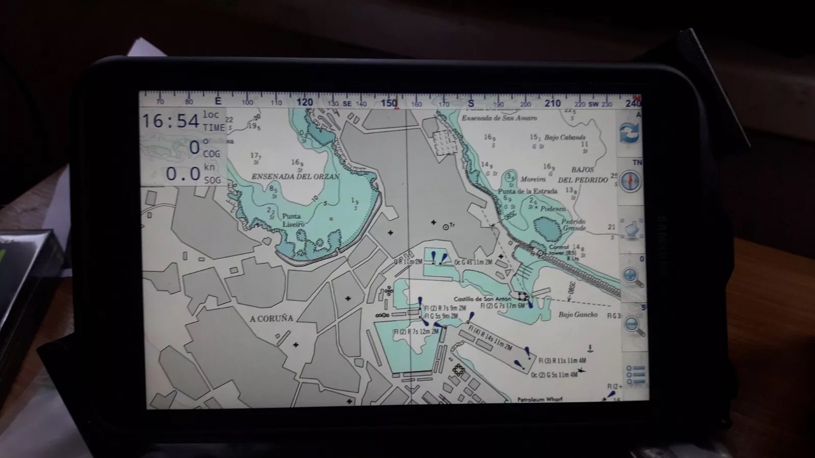
Our favourite feature so far Being able to point the tablet at the bows, "Compass Up", and having the "True Course Line" switched on. This show as a dotted line stretching ahead the CMG by the boat. So "at a glance" the navigator can see how much the current is having an effect on the boat at that instant. (Or leeway for that matter).
The "Compass Up" feature also allows you to positively identify buoys or seamarks from a distance, by lining them up with the tablet/phone.
Note: Not ALL Android devices have a built in compass.